THE APPROACH
THE INTRODUCTION: Brief introduction of ganga river basin regarding the density population.
THE BODY
-
- Land, soil, and water resources.
- Relationship with population density.
THE CONCLUSION: Importance of ganga river basin in supporting people’s life.
THE INTRODUCTION:
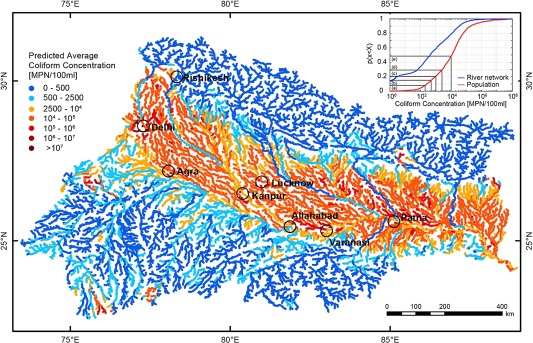
The Ganga River Basin is one of the world’s most densely populated regions, supporting over 500 million people, around 40% of India’s population and exceeding 520 persons per square kilometer, far above the national average.
THE BODY:
The distribution and density of population in the Ganga River Basin with special reference to Land, soil, and water resources are as follows:
Land resources:
-
- The basin encompasses vast alluvial plains across 11 major states, including Uttar Pradesh, Bihar, West Bengal, and Delhi.
- The western side of the ganga river basins generally constituted of large land holdings such as in Punjab and Haryana, whereas the farmers in eastern side such as Bihar own smaller lands.
- Flat terrain with deep, fertile deposits enables large-scale agriculture and dense rural settlement, while good transport connectivity supports urbanization.
- More than 44 million hectares are net-sown, with extensive irrigation promoting agricultural productivity.
Soil resources:
-
- Dominant alluvial soils, deposited by Ganga and tributaries, are deep, loamy, and nutrient-rich, ideal for rice, wheat, and multiple cropping.
- Soils include sandy, loam, clay, and silty types, supporting a variety of crops and continuous cultivation.
- Annual floods replenish fertility, but make soils in certain areas highly erodible, as seen in prone states like Uttar Pradesh, Bihar, and West Bengal.
- The soil quality in western ganga basin has deteriorated due to overuse of chemical fertilizers and green revolution (leading to issues like nutrient depletion, soil acidification, and reduced fertility) while the eastern side is still comparatively fertile.
Water resources:
-
- The basin holds over a third of India’s surface water, with an annual potential exceeding 525 billion cubic meters.
- Reliable water supply from perennial rivers and Himalayan-fed tributaries enables extensive irrigation, domestic use, and industrial growth.
- About 90% of water resources serve irrigation, boosting crop intensity and supporting large populations; groundwater is heavily tapped in alluvial zones.
- Due to excessive extraction of ground water for irrigation in western parts the ground water level is severely impacted while its average in eastern side.
- The Ganga basin also contains one Inland National Waterways.
Relationship with population density:
-
- High population density clusters where flat lands, fertile soils, and abundant water resources coincide, especially in the central plains of Uttar Pradesh, Bihar, and West Bengal.
- Major cities like Delhi, Kolkata, Varanasi, Kanpur, and Patna are situated on the riverbanks, benefiting from resource richness and driving urban expansion.
- The exceptional endowment of these resources has made the Ganga Basin India’s demographic heart, fostering agricultural surpluses and supporting densely populated settlements for millennia.
THE CONCLUSION:
The synergy of land, soil, and water resources explains the exceptionally high population distribution and density in the Ganga River Basin.
The Ganga River Basin is vital for supporting millions in India due to its extensive fertile alluvial land, nutrient-rich soil from annual floods, and abundant surface and groundwater resources.
Spread the Word